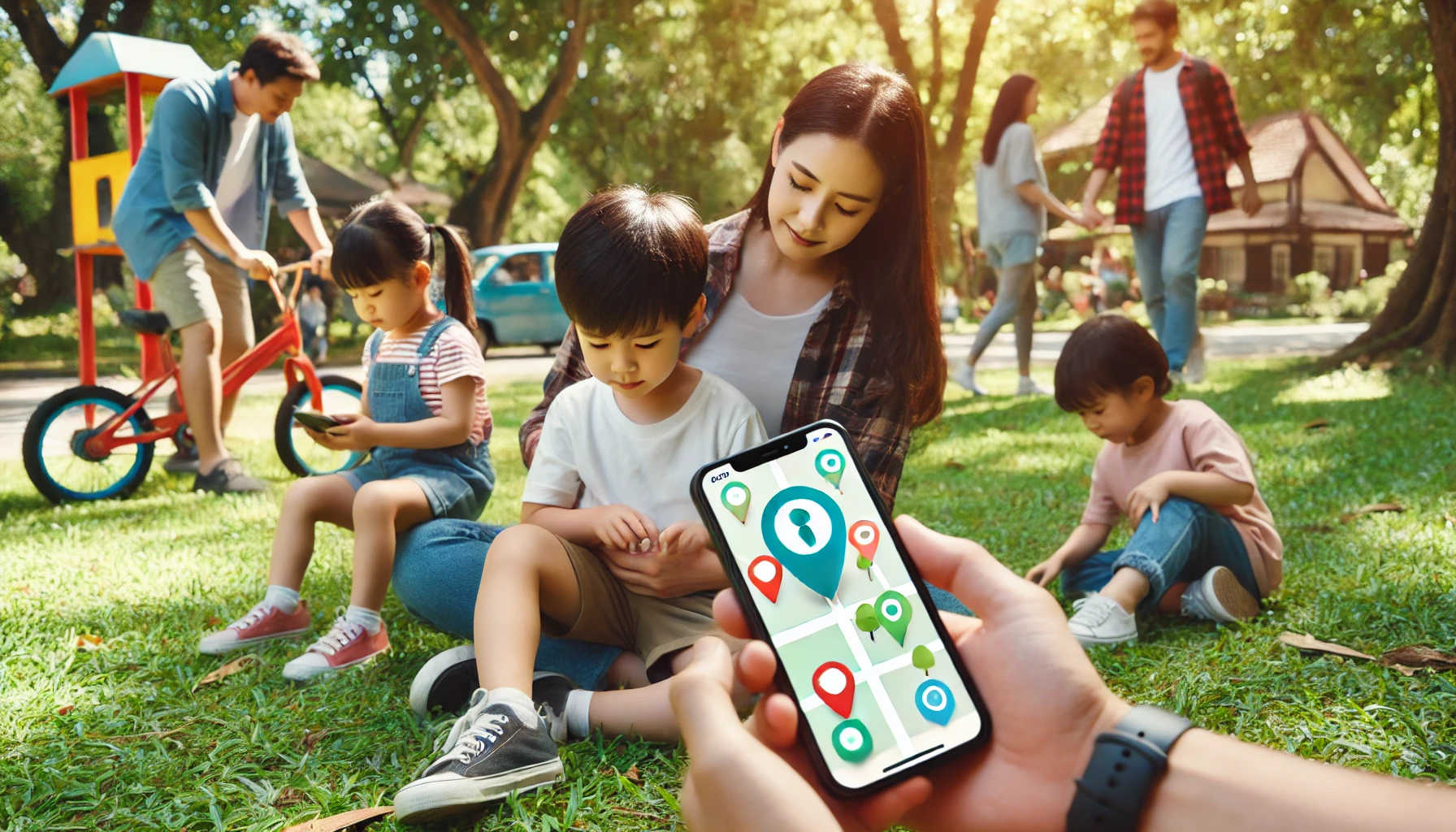
In our turbulent times, technologies are becoming increasingly popular to ensure our safety and the safety of our loved ones, especially children. Examples of these include location tracking apps. You may be far from each other physically but close thanks to interactive maps and GPS. However, how do these paid and free phone number tracker apps work, what is behind them, and how do they continue to evolve? Today we will figure it out.
How It Started
The history of location tracking is connected with technological advancements and the needs for navigation, safety and convenience.
Early civilizations like the Phoenicians and Polynesians used the stars, sun and moon to navigate the seas. Ancient Greeks, Romans, and Chinese created maps and used physical landmarks for navigation.
Invented in China around the 11th century, the magnetic compass improved navigation, especially for sea travel.
After this, in the 15-16th century tools like the astrolabe and sextant allowed sailors to determine their latitude: they could measure the angle of celestial bodies above the horizon.
During World War I and II, radio navigation systems, e.g., LORAN (Long Range Navigation), were developed to provide more precise location information.
Inertial navigation systems were developed in the mid-20th century. These systems used gyroscopes and accelerometers to calculate position, primarily for aircraft and submarines.
After this the development was very quick. In 1973, the U.S. Department of Defense initiated the GPS project to overcome the limitations of previous navigation systems. In 1983, after a Korean Air Lines flight was shot down for straying into Soviet airspace, President Reagan offered GPS to civilian use. This was a time of widespread adoption.
In 1995, the GPS system became fully operational. It provided global coverage. Now, the integration of GPS into smartphones changed location tracking in different spheres: navigation, fitness, social media, etc.
Technologies like GSM and LTE networks make real-time location tracking of devices possible. This, in turn, enhances different services, e.g., ride-hailing, delivery and personal safety.
Recent developments include indoor positioning systems (IPS). These technologies use Wi-Fi, Bluetooth and UWB (Ultra-Wideband) and provide location tracking inside buildings where GPS signals are weak.
Another one is the advanced satellite system. New satellite constellations and improvements in accuracy and reliability, e.g., Galileo (Europe) and GLONASS (Russia), complement and enhance GPS.
How It Works
Location tracking apps work thanks to the combination of advanced technologies. Let us talk about it in more detail.
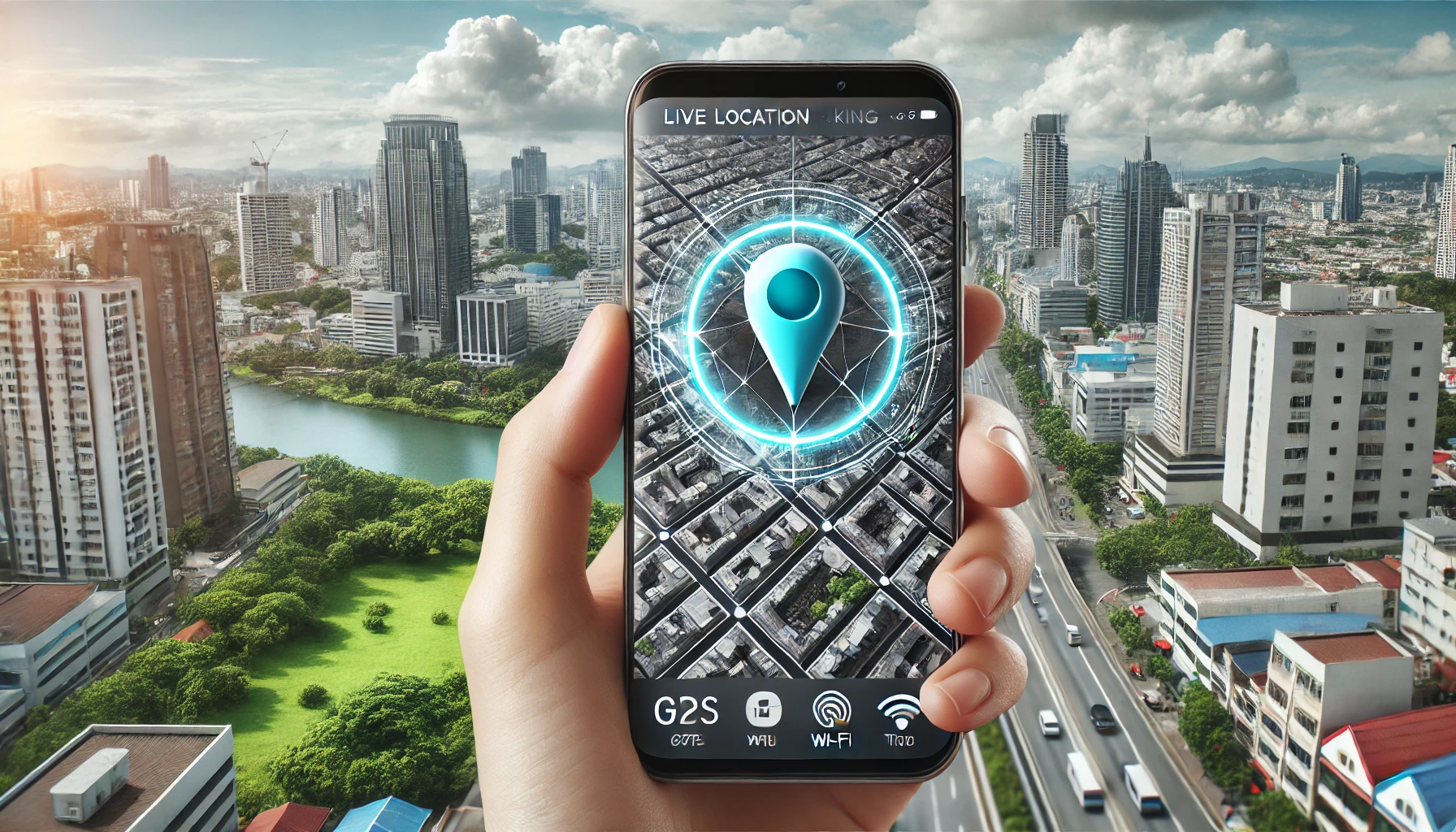
GPS relies on a network of satellites that orbit the Earth. A GPS receiver in a device communicates with these satellites to determine its location. By receiving signals from at least four satellites, the device can calculate its precise location using a method called triangulation.
When GPS signals are weak or unavailable (e.g., indoors or in dense urban areas), location can be estimated nearby cell towers. The device measures the signal strength from multiple towers to approximate its location.
Devices can use nearby Wi-Fi networks. By identifying known Wi-Fi networks and their signal strengths, the device can triangulate its position.
In indoor environments, Bluetooth can be used. These beacons emit signals that are picked up by the device to determine proximity and location.
Devices often include accelerometers, gyroscopes and magnetometers. They help in dead reckoning (estimating position based on movement) when GPS and other signals are weak.
How Location Tracking Apps Use These Technologies
The app collects raw location data from the device’s GPS, Wi-Fi, cellular and Bluetooth systems. This data includes latitude, longitude, altitude and sometimes speed and direction.
The app processes this raw data to filter out noise and inaccuracies. Advanced algorithms and data fusion techniques combine data from different sources to improve accuracy.
The processed location data is then mapped onto digital maps. Apps often use map services (Google Maps, Apple Maps, OpenStreetMap, etc) to visualize the location on a user-friendly interface.
Many location tracking apps provide real-time updates. They continuously collect and process location data for live tracking.
Location-based services (LBS) include navigation, geofencing (triggering actions when entering/exiting a defined area), location sharing and finding nearby services or points of interest.
Application Examples
Navigation apps (e.g., Google Maps, Waze)
Fitness apps (e.g., Strava, Nike Run Club)
Social media apps (e.g., Snapchat, Facebook)
Ride-hailing apps (e.g., Uber, Lyft)
Child and pet tracking apps
What to Expect
The future of location tracking is going to bring even more advancements and innovations. Here are some key trends and developments to expect:
Next-Generation Satellites: New satellite systems like the European Galileo, Russian GLONASS and Chinese BeiDou will enhance GPS accuracy. Combined GNSS (Global Navigation Satellite System) receivers will leverage multiple constellations for better precision.
Multi-Frequency GNSS: Devices capable of receiving multiple frequency bands from satellites will improve accuracy, especially in urban environments where signals can be obstructed or reflected.
Predictive Location Services: AI algorithms will predict user movements and preferences, offering more personalized and proactive location-based services.
Enhanced Data Fusion: Machine learning will optimize the fusion of data from GPS, Wi-Fi, Bluetooth and other sensors for more accurate and reliable location tracking.
Ultra-Wideband (UWB): UWB technology will provide centimeter-level accuracy for indoor positioning, useful in smart homes, offices and retail environments.
LiDAR and Visual SLAM: These technologies will enable detailed mapping and navigation in indoor spaces.
Edge Computing: Processing location data at the edge of the network will reduce latency and improve the efficiency of location-based services.
Precise Navigation: Autonomous cars, drones and robots will rely on ultra-precise location tracking for navigation, obstacle avoidance and route optimization.
Location-Based AR: Enhanced AR experiences tied to specific locations, e.g., interactive city guides, gaming and educational tools.
Urban Planning: Location data will inform smarter urban planning and infrastructure development.
Sustainable Practices: Optimizing resource use and reducing emissions through precise tracking of goods and transportation.
Note: These advancements will also require robust privacy protections and ethical considerations to ensure that the benefits of location tracking are realized responsibly and equitably.
Sum Up
Technologies do not stand still and every year, or even more often, we receive new products aimed at our safety. Now we can be calmer about our loved ones, because at any moment we can track their location and, if necessary, help them. Isn't it convenient and reliable? Of course it is.